China confirms reception of data from high-resolution remote-sensing satellite


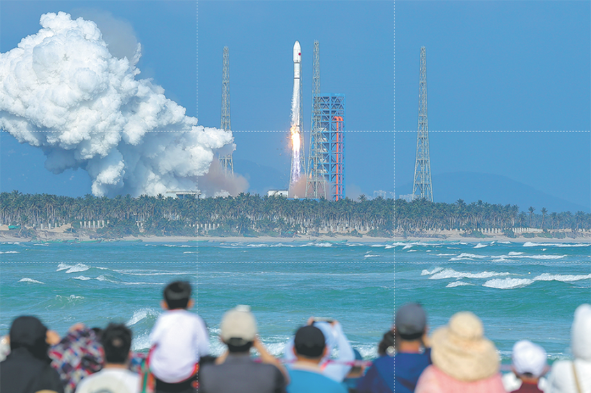
BEIJING - The Chinese Academy of Sciences (CAS) on Tuesday confirmed that China has successfully received data from the newly launched high-resolution multi-mode imaging satellite.
The satellite, launched on July 3, is a civil-use optical remote-sensing satellite with a resolution up to the sub-meter level. According to the Aerospace Information Research Institute under the CAS, China's remote sensing satellite ground station in Beijing's Miyun District first tracked and received the downlink data on July 3.
The ground stations in Kashgar in Xinjiang Uygur autonomous region and Sanya in Hainan province, as well as the China Remote Sensing Satellite North Pole Ground Station, have also confirmed reception of the satellite data.
As of Monday, the remote sensing satellite ground stations have received 1,012 gigabytes of data, which are being processed normally.
The satellite can provide high-precision remote-sensing image data for several industries including surveying and mapping, natural resources, emergency management, agriculture, ecological environment, residential construction and forestry.


- Chinese researchers score breakthrough in general artificial intelligence logical reasoning
- Central division of Heilongjiang Border Sports Games opens
- Foreign trade fuels Xinjiang's regional GDP growth during 14th Five-Year Plan
- Chinese PLA aerobatic team's J-10 jets arrive in Singapore for airshow
- Zhanjiang deepens ties with Hainan, integrates into New Western Land-Sea Corridor
- Gansu leads China in museums per capita