Chinese researchers build high-precision topographic dataset for Chang'e 6 landing area


BEIJING -- Chinese researchers have created a high-precision terrain dataset with millimeter-to-decimeter spatial resolution around the landing site of China's Chang'e 6 lunar probe.
Based on this dataset, the researchers from the National Astronomical Observatories of the Chinese Academy of Sciences determined the accurate location of the landing site of Chang'e 6 and conducted a microscale geological analysis, according to a recent research article published in the journal Nature Communications.
Through comparison, the researchers found that the geological features of the region, such as surface roughness, the ratio of crater depth to diameter, the thickness of lunar regolith, and the number of rocks, all fall between those of the landing sites of Chang'e 4 and Chang'e 5, indicating that the surface exposure time of the region is also roughly intermediate between the two.
Through detailed topographic analysis, they have revealed that the Chang'e 6 landing area was primarily covered by local Mare materials, which were excavated from a nearby unnamed crater with a diameter of about 51 meters and accounted for 30-35 percent in volume.
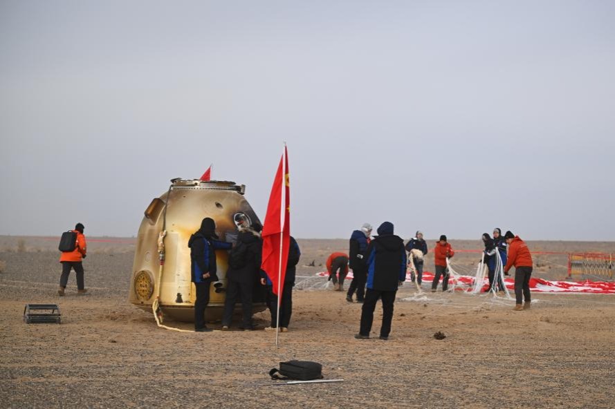
The Chang'e 6 lunar probe returned to Earth in June last year, with 1,935.3 grams of lunar samples collected from the previously unexplored far side of the moon.


- Chelsea legend Gianfranco Zola visits Chongqing fans
- Winter storm transforms Zhangjiajie's Tianmen Mountain into frosty wonderland
- Wuhan receives first snow of year, images go viral
- China steps up emergency response as temperatures drop sharply
- Shenzhen leads China's megacities in commuting efficiency
- Shenzhen forms micro-drama industry association